AI for Land, Livestock, and Wildlife
Providing the most advanced and capable hardware, software, and AI to turn your data into management decisions.
Trail cameras, aerial surveys, and Vale AI, working together for your next hunt.
SCROLL ↓
What Vale Does
Turn your photos into decisions.
01BUCK IDPRO
Every buck on your property, in one place.
Vale sorts your photos by animal, and you name the bucks worth tracking.
How Buck ID Works 02POPULATIONENTERPRISE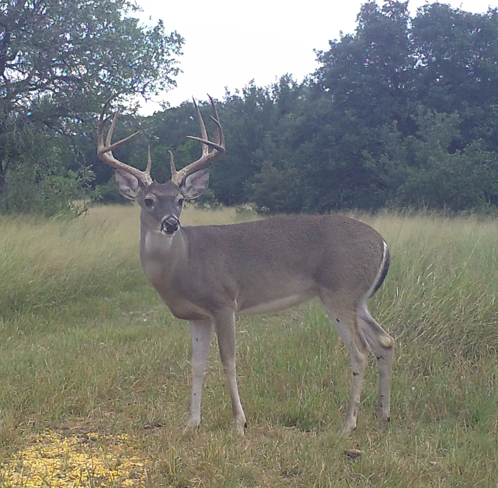
Manage the herd, not the photos.
A camera survey gives you a herd estimate and the sex ratios behind it.
Camera CensusBuck:DoeFawn:DoeMLDP ReportHow a Survey Works 03MAPFREEMap your property to the acre.
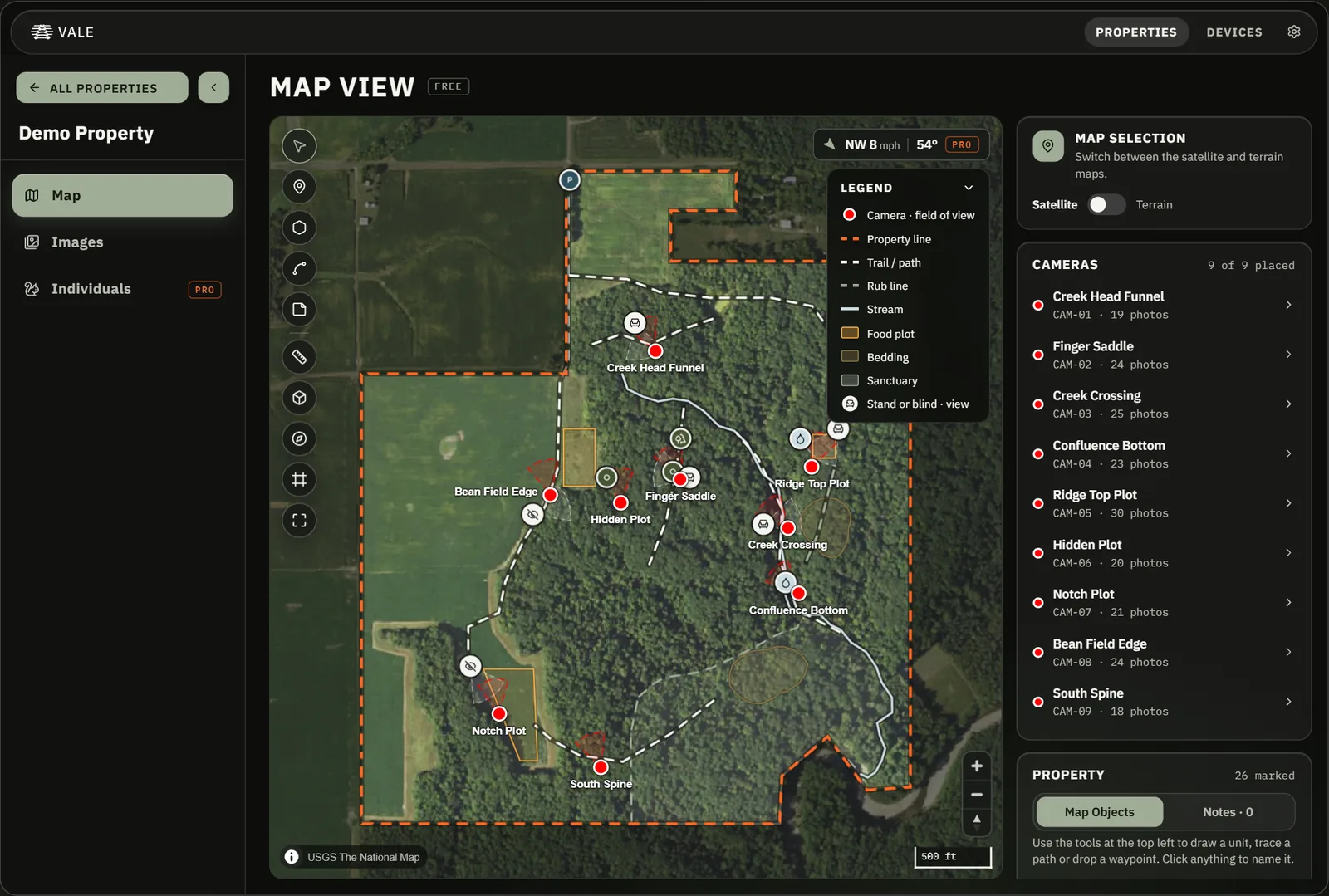
Draw your boundary once and see every camera on it.
BoundaryStandsView ConesSee the Map 04CAMERASOne base station, not a cell plan per camera.
Cameras send photos through repeaters to one base station.
5 MP100 ft FlashMeshSee the Camera 05RESEARCHENTERPRISEBuilt for research teams.
Your team reviews and signs off on the results.
ReviewCustom ModelsAPIDesktopSee the PlatformTry the Vale App
Open Vale on a sample property.
Explore the map, the photos, and the named bucks from 9 cameras. You do not need an account.
Plans
Start free and upgrade when you are ready.
FreeFree500 Vale AI images a month1 GB photo storageMaps, camera sites, and Vale AI species ID.Pro$14.99/moor $119.99 a year50 GB photo storageUnlimited Vale AI, plus buck inventory, wind, and activity.
Plans, cameras, and recorders are all in the store.
Start with the photos you have.
Vale works with any trail camera, and you can start free.