
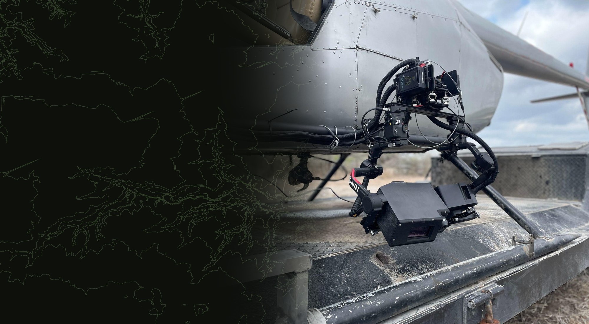
OPTICAL · VEHICLE-MOUNTED
Vale Optical Payload
See what's happening in the field, fast.
Purpose-built survey instrumentation for wide-area work. Mount it to a helicopter or a truck, cover ground at speed, and capture survey-grade optical and LiDAR data that the Vale Platform turns into structured results, compressing weeks of field analysis into hours.
Proven in the field
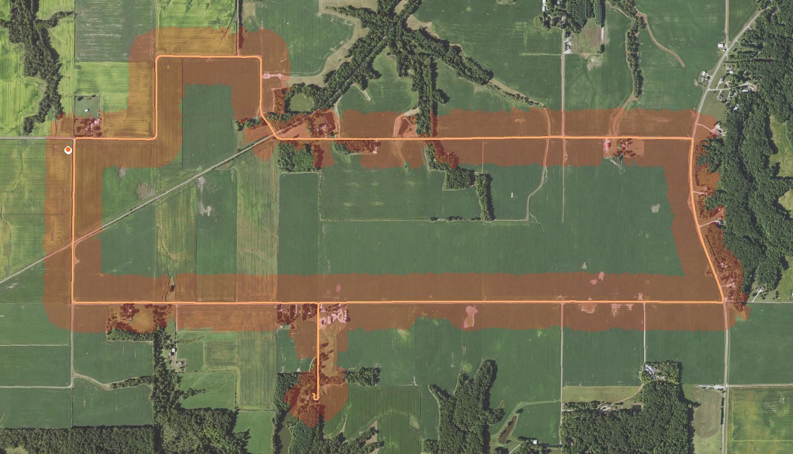
One pass over the ground, mapped end to end.
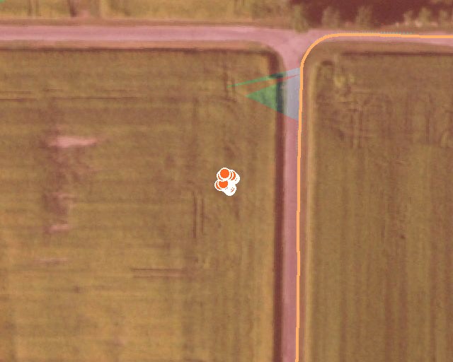
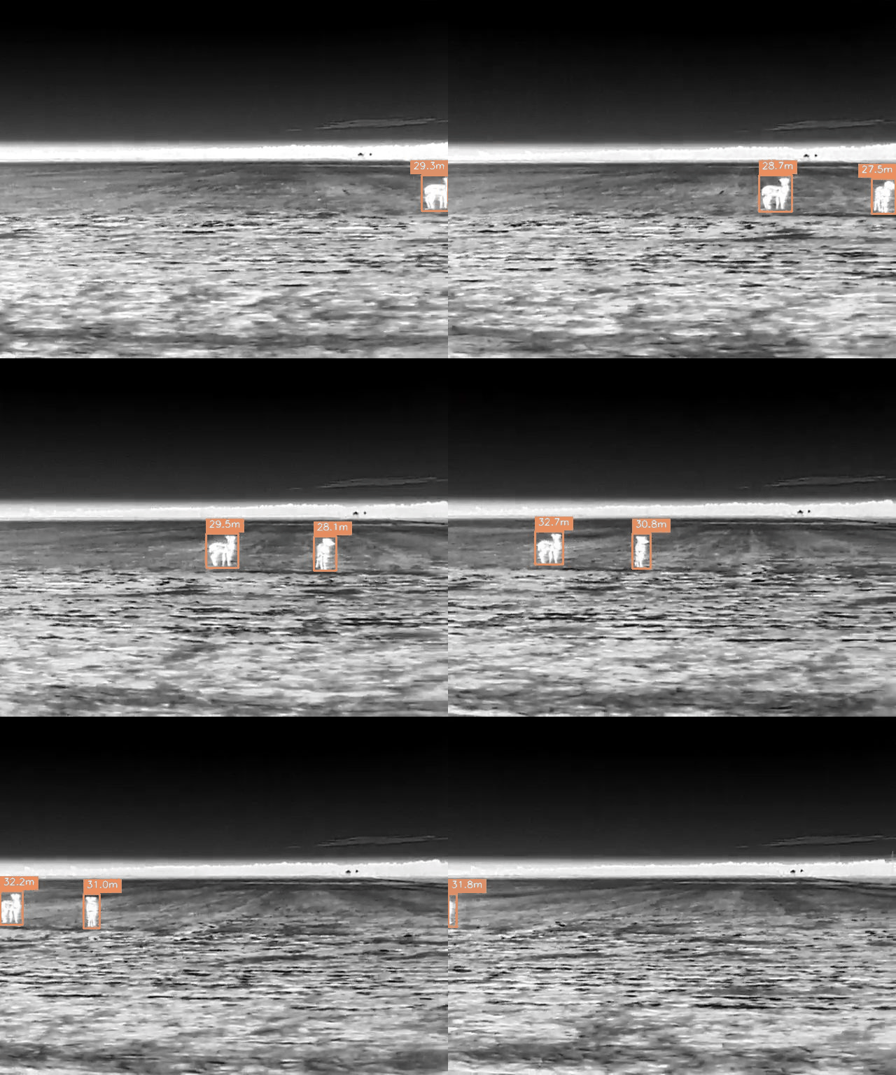
Mount the payload, drive the route, and the platform turns the run into structured data.
Everything below is real output from one night survey covering roughly 560 acres.
Built for the mission
Made for Wildlife agencies and large organizations.
When you're responsible for surveying entire regions, you need imagery at scale - and you need it to be reliable. The Vale Optical Payload is engineered for the organizations doing serious, wide-area wildlife work.
Why Vale
Survey-grade capture, engineered for the field.
Wide-area coverage
Cover survey routes in a fraction of the time of ground teams, with consistent imaging across the whole transect.
Stabilized optics
Vibration-isolated mounts hold image quality steady on rotor and rough-road platforms alike.
LiDAR-fused capture
Optical and spatial data captured together, so the platform can resolve depth and density downstream.
Feeds the platform directly
Imagery flows into the Vale Platform for automated analysis - no manual pipeline to maintain.
Ruggedized for the field
Sealed against dust, moisture, and the realities of deployment far from base.
Agency-ready reporting
Outputs formatted for the documentation standards survey work demands.
ROI calculator
What a payload survey saves vs ground crews.
Assumes about 500 acres/day on the ground versus roughly 8,000 acres/day with a vehicle-mounted payload.
Sources: Buckland et al. 2015; Ruette et al. 2003; Howe & Buckland 2017. Methodology and references →