
HARDWARE · LONG-RANGE WIRELESS
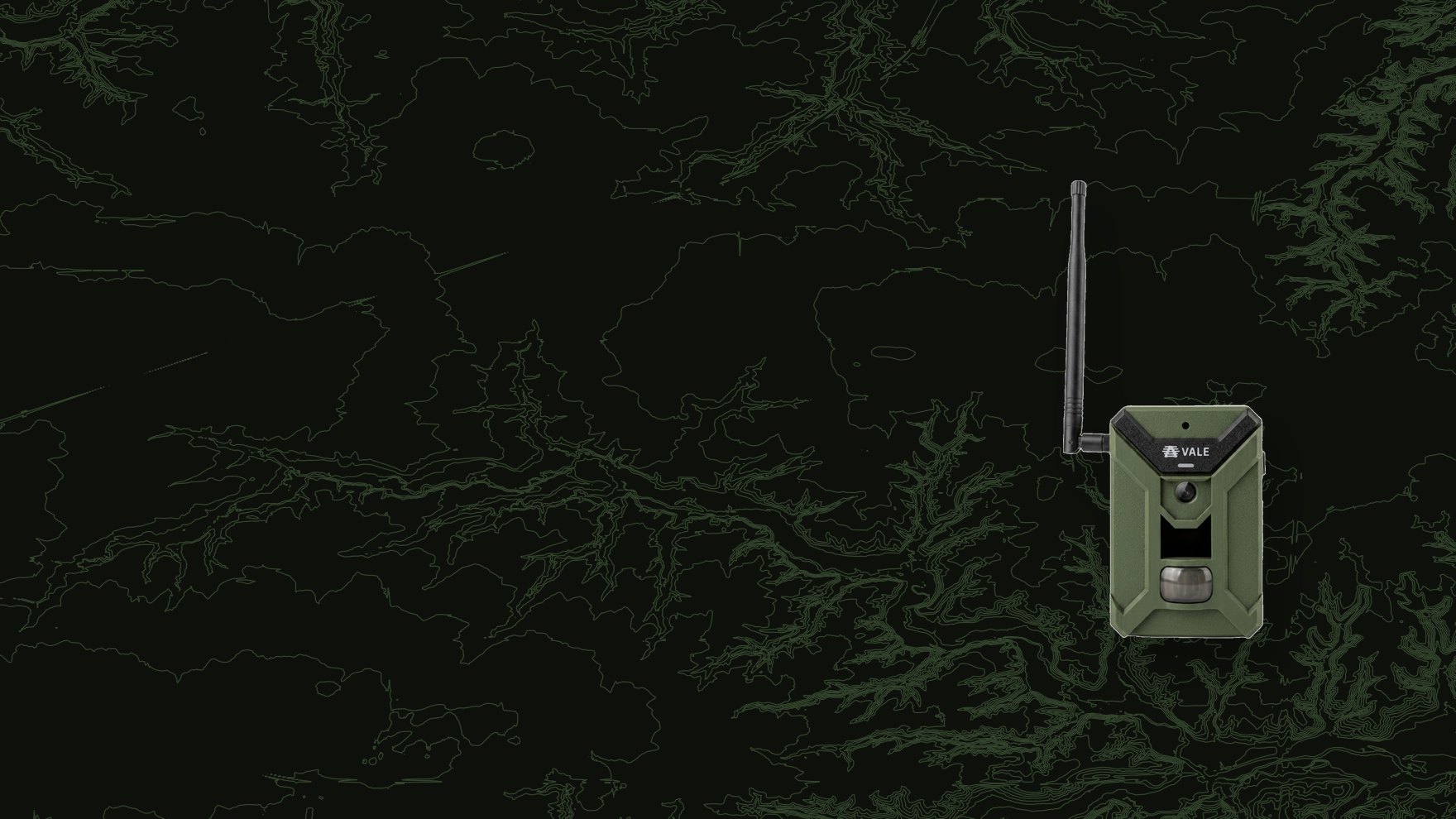
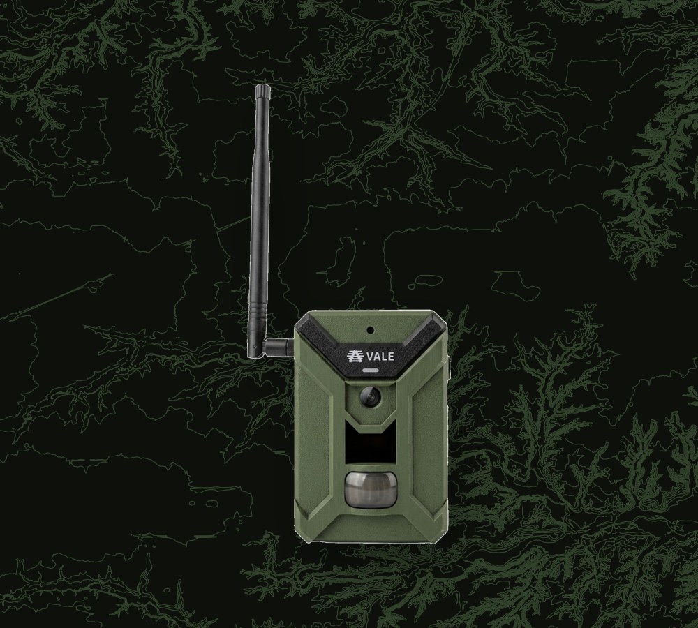
Long Range Wireless Camera
Long-range wireless. Whole-property coverage.
A long-range wireless trail camera built to blanket an entire property. A single base station and repeaters link dozens of cameras into one large network, so imagery streams straight to your phone and into the Vale Platform, with no cell plan per camera.
How it works
Dozens of cameras, one connected grid.
Deploy the grid
Place nodes across your area of interest. Pair it with it's designated relay or base station.
Capture continuously
Each node images its field of view, sharing data across the network.
Stream to app + platform
Imagery relays to the base station, then to your phone and the Vale Platform for automated analysis.
Why long-range wireless
The whole property, connected.
Long-range wireless grid
Up to ~1 km per hop in clear line-of-sight. Base stations and repeaters relay deep into the property, roughly 20x the reach of typical WiFi trail cameras.
Base station, your way
One base backhauls the whole grid over Starlink, cellular, home internet, or a local external drive. Connect however your property allows, with no per-camera cell plan.
5 MP native sensor
A true 5 MP native sensor captures clean detail day or night, not an upscaled crop.
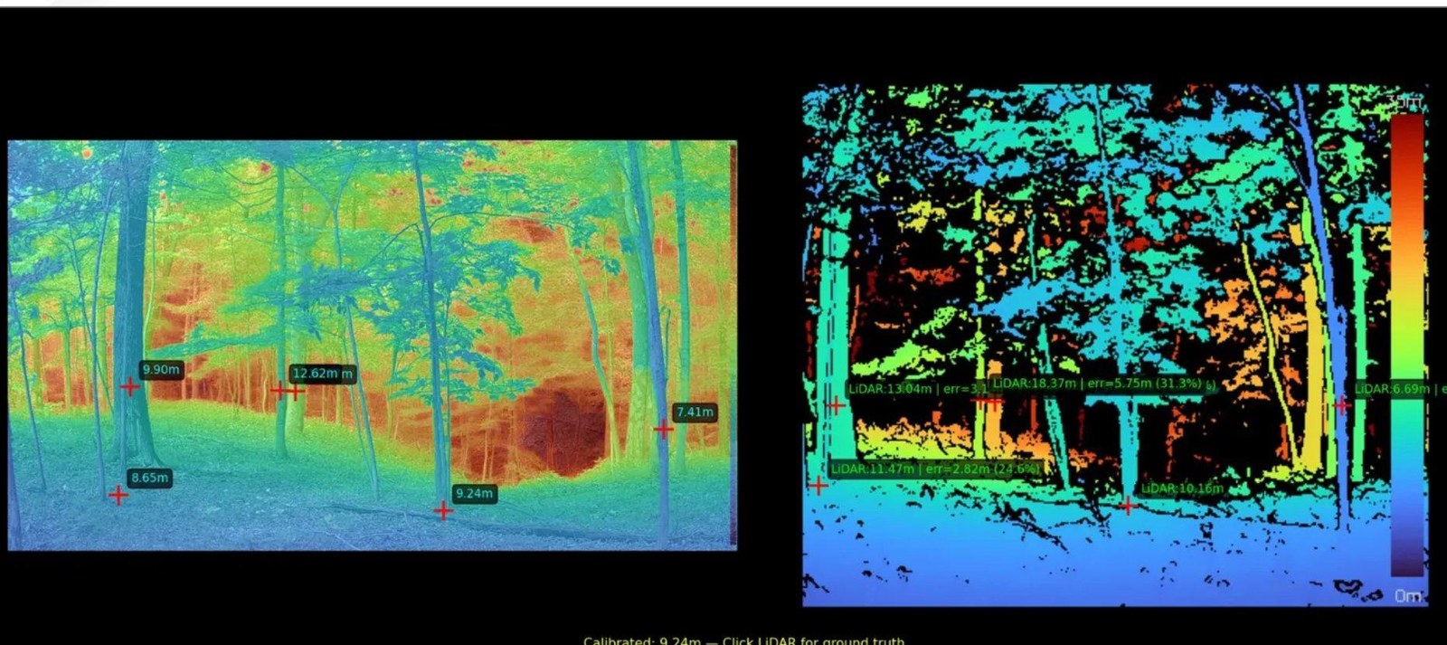
LiDAR-calibrated depth
We calibrate every camera site with LiDAR, enabling depth analysis that feeds density and 3D localization downstream.
Optically-calibrated PIR
The motion trigger is optically calibrated with detection curves mapped per target size, so it fires on a deer at range, not a leaf up close.
Modular battery + solar
Swap-in modular battery packs and solar keep nodes live for seasons, with no full retrieval to recharge.
Depth-enabled
Depth analysis, calibrated per site.
We calibrate each camera site with LiDAR, enabling depth analysis that reads range and animal size from the imagery that site captures.
● Deployment planning
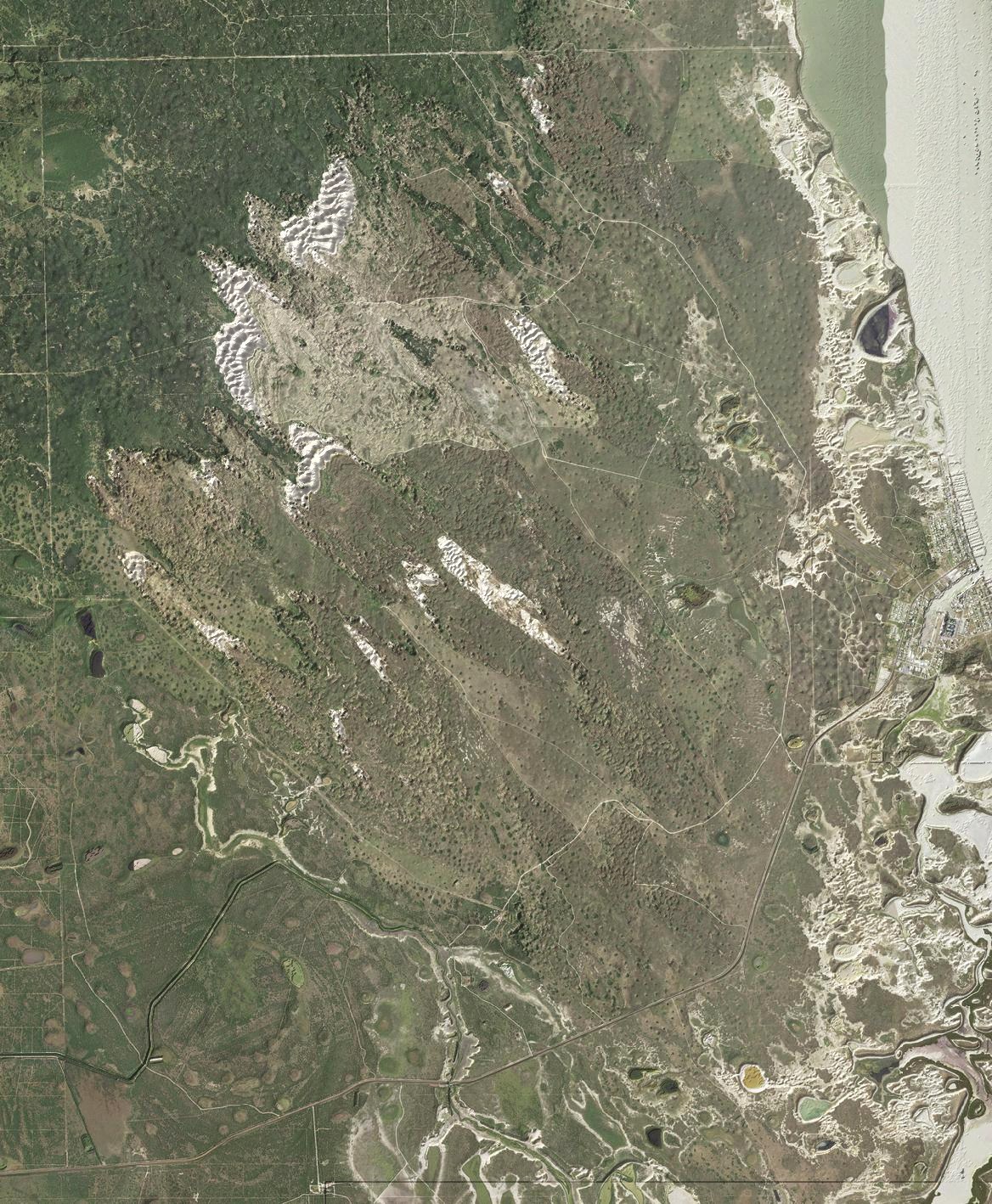
Planning a large deployment? Our team will analyze your property.
Tell us your property and we design the grid for you. We fuse aerial imagery, LiDAR terrain, canopy height, and modeled RF coverage to place every camera, repeater, and base station for full coverage, then hand you the plan. Click the model to break it into its layers.
At a glance
Camera details
ROI calculator
What a long-range wireless grid saves vs cell cameras.
Cellular cameras bill a data plan per camera, roughly $5 to $13 a month each. The long-range wireless grid backhauls the whole grid over one connection you already have, so there is no per-camera plan.
Sources: Tactacam Reveal data plans (2026). Methodology and references →